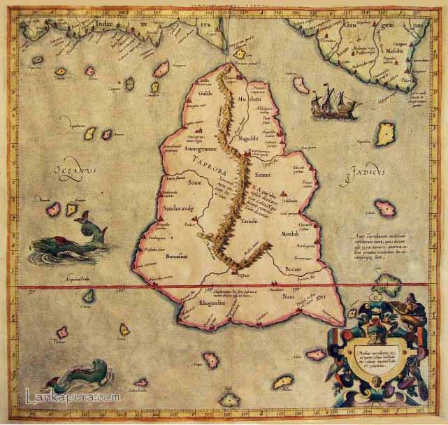
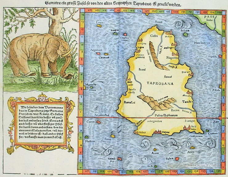
Ancient maps of Ceylon [ Sri Lanka ] All images courtesy
|
Sri Lanka
Discover-Sri Lanka |

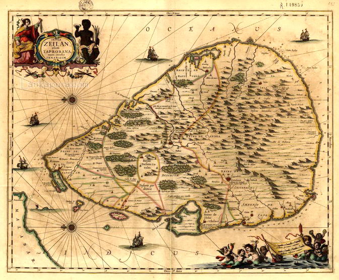


Early Map of Ceylon, Ceilan c.1623Ceylon, G. Merctor / H. Hondius, c.1620s #IMG161INS. CEILAN QUAE INCOLIS TENARISIN DICTUR.
An early engraved map of the the country orientated with East at the top. Embellished with three decorative cartouches. Animals on the land area.


 |
|
Phone + 94 77 641 9792
Sri Lanka |
|
